5 Urban Transportation Challenges that Big Data Analytics Can Help You Solve

Transportation planners today face a ton of challenges as they work to build efficient, safe, and sustainable urban transportation systems. From rising congestion to increased demand for public transit, the travel behavior and transportation preferences of modern city dwellers are changing fast. These challenges raise complicated questions for urban transportation planners; for example, “How do we handle the rise of ride hailing apps? If we add more public transit options, will people use them? How do we minimize the impact of construction if we do expand public transit? And how do we pay for all of this?”
At the heart of each of these challenges is the need for good data. The high costs and the time required to collect and analyze travel behavior data using conventional tools can prevent transportation planners from answering their questions completely – and even from answering them efficiently and empirically. But collecting and analyzing Big Data from mobile devices (that’s the location records created by connected cars and trucks, smartphones, and wearables) can provide much-needed travel pattern information quickly and comprehensively.
Thanks to new technology, data collection tools don’t have to slow transportation professionals down anymore – in fact, these tools can be some of planners’ most valuable assets. With Massive Mobile Data sources and processing software, urban transportation planners and modelers can create more accurate models and forecasts for predicting future behavior.
These forecasts and models have always been critical for prioritizing the projects that will best serve their city’s residents, but they’re even more important now: The changes in travel behavior that communities are experiencing now are poised to accelerate moving forward. In this blog post, I’ll give a few examples of how urban transportation planners can use Big Data to help address their most pressing challenges.


1. Traffic Congestion and Lack Of Parking
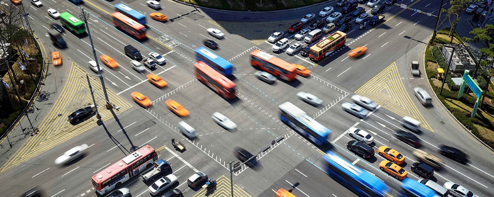
50% of the world’s population lives in cities today – and according to the World Bank, urban populations are growing by nearly 2% annually on average. As noted in a recent study by the Texas Transportation Institute, urban commuters in the US today spend nearly 46 hours per year stuck in traffic. Back in 1980, they spent just 16 hours stuck in traffic. While population growth is good for cities’ economic health, this growth often strains their transportation systems. An influx of cars and drivers eventually results in congested roads that are over capacity, and all those cars have to park somewhere, too.
How Big Data Can Help:
Massive Mobile Data analytics can help transportation planners identify the cause of congestion. By looking at the true origins and ultimate destinations of empirically measured, real-world trips, planners can quickly determine if insufficient parking is the problem, or if other factors such as poorly timed signals or an increase in commercial truck deliveries are to blame. If parking is the problem, Massive Mobile Data analytics can also show planners where drivers searching for parking tend to circle the most.
2. Long Commutes
As urban roads designed decades ago fill up with cars, congestion can cause commute times to go up dramatically. Per the US Census, the average American worker spends 20% more time commuting today than they did in 1980. While attracting more people and businesses is a positive move for cities, scaling up road capacity to keep up with the additional traffic is not easy.
However, even if it were cost-effective and efficient to expand road capacity, this strategy would not ultimately solve long commutes. As noted in the policy brief from the Center for Sustainable Transportation at UC Davis, when we expand highways, they are quickly filled by more cars, which increases overall vehicle-miles-traveled (VMT). This challenge is particularly important to address because longer commutes can ultimately drive businesses and residents to relocate, and that is something no city wants.
How the Big Data Can Help:
The first steps to fixing long commutes are figuring out just how long commutes are, where they begin and end, and who’s doing them. With this information, urban planners can better assess whether those commuters have access to reasonable alternatives to driving. If other options exist but commuters are still driving, urban transportation planners can then explore incentives to encourage the use of existing transit options and/or carpooling. If there aren’t good transit options for commuters, Massive Mobile Data can help urban transportation planners identify the top origin-destination pairs during peak AM and PM commuting hours. This analytics can also reveal where the largest first-mile/last-mile transit gaps are located. With up-to-date, real-world travel pattern data, it is easier to identify the potential transit routes that will encourage today’s drivers to shift modes, right down to siting future transit stop locations.
3. Lack Of Public Transportation Options
Cities don’t just outgrow their roads – they outgrow their public transit systems, too. As business and residential centers change, public transit capacity and routes also need to adapt. Where a few routes could once handle rider demand, an influx of new residents can quickly change that. San Francisco’s overcrowded BART trains are a great example of this challenge in action.
As more residents seek out more environmentally-friendly options, the demand for buses, trains and other public transportation also rises. According to DOT’s Beyond Traffic 2045 Report, transit ridership today is at a 50-year peak, and it has increased by nearly 25% over the past twenty years. As live, work and recreational patterns shift, bus routes that were useful five or ten years ago may no longer serve the ideal locations.
How Big Data Can Help:
As noted above, Big Data from mobile devices and connected cars can help reveal public transit gaps as well as expansion opportunities. By tracking trends on current usage and projected growth, urban transportation planners can also more accurately predict when they will need to expand capacity or add new routes. By tracking last-mile trips from transit stations, or finding the places where drivers could be sharing a shuttle if only that option were available, planners can target new transit investments in the most useful places.
Most importantly, this analytics can help urban transportation planners build public support for major infrastructure projects and capital investments. Using real-world travel behavior data that is less opaque and more easily understood by everyone can strengthen planners’ arguments for investing in transit.

4. Inadequate Bike And Pedestrian Infrastructure
With more people using their daily commute to work or school as a chance to get some exercise, the need for bike and pedestrian infrastructure is growing. According to the US DOT Beyond Traffic 2045 report, the number of commuters who regularly bike to work has doubled in the last decade, and walking is now the preferred mode for 10% of all trips. Not only are bike and pedestrian lanes important to control traffic, but they also greatly increase safety for both riders and walkers. However, our urban environments weren’t necessarily designed for cyclists and pedestrians, especially in cities that “came of age” during the height of urban highway development and American car culture. Road diets are one way that planners are working to address this problem; however, these occasionally controversial projects can also increase travel times.
How the Big Data Can Help:
Big Data can help reveal the impact of bike and pedestrian infrastructure improvements on vehicle traffic. By conducting before-and-after studies of pilot projects using archival data, urban transportation planners can more accurately weigh the benefits of projects such as road diets against the costs in terms of travel time and congestion. Planners can also go one step further and identify travel patterns that characterize roads that are good candidates for bike and pedestrian infrastructure. As with other types of public transit, Massive Mobile Data analytics can also show urban transportation planners the best places to implement bike shares and to locate bike share stations.
5. Negative Environmental Impacts
Communities with high rates of congestion and external-external trips also face significant negative environmental impacts. As vehicle-miles traveled climbs, so do greenhouse gas emissions and other types of air pollution. Not only does this affect the environment, it can also impact public health.
How Big Data Can Help:
The first step to solving a problem is to measure it. Big Data can help urban transportation planners measure VMT more accurately, as well as categorize the VMT contributions of personal trips and commercial trips separately. Because these estimates are based on real-world travel behavior for individual communities, they are typically more accurate for smaller urban urban areas than the broad regional estimates provided by the Federal Highway Administration. Big Data can also help planners implement electric vehicle (EV) charging networks in ways that encourage more widespread adoption. Check out our blog post on EV charger locations to learn more.
Putting it All Together
Once transportation planners have identified the challenges they’re facing, they can bring together the right mix of policy and infrastructure tools to address these issues. By using Massive Mobile Data analytics to analyze real-world travel patterns, planners can develop more effective solutions for their communities.
Eliminating the time-intensive nature of data analysis is the key to responsive transportation planning because urban communities’ travel patterns are changing fast. Data analytics tools that can quickly reveal current traffic patterns ensure that planners are using the most accurate information. Using outdated data not only slows down the process, but it also increases the likelihood that proposed road projects won’t meet the needs of today’s users – whether they’re driving, biking, or walking.
Once transportation planners are armed with the right data, they can better forecast what their communities will need, too. By tracking transportation trends over time, they can see which roads receive the most traffic and where growth will potentially overload routes. It gives them proof of the best strategies for expanding transit to alleviate congestion, shorten commute times, and reduce the environmental impact of vehicles on the roadways. Using forecasting models that are easily understood when planning projects also helps planning agencies secure the funding they need.