EV Charging Infrastructure
Site electric vehicle infrastructure to maximize usage
Power your EV charging infrastructure decisions with robust transportation insights. Whether you’re deploying federal dollars for new charging sites or optimizing existing ones, get the reliable data you need to justify charger sites in your region.
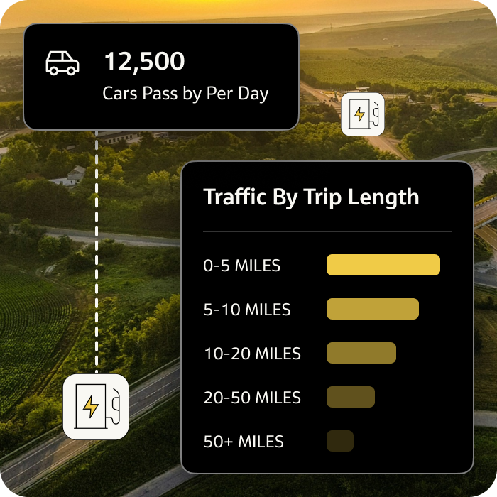
Harness up-to-date transportation data to plan infrastructure that taps into the growing EV demand
Score and prioritize locations based on existing vehicle demand for different times of day, day of week, and more.
Ensure equitable access to EV chargers by analyzing travel patterns for rural and urban communities, overlaid with demographics.
Scan area-wide origin-destination patterns and routing activity to make network-wide decisions.
Get a comprehensive view of total vehicular demand today to effectively deploy charging infrastructure
Get started
Delivering a sustainable transportation solution for NEVI plans through equitable EV investments
Read press release:For the rapid expansion of EV infrastructure under the NEVI program, Nevada DOT was looking to use a modern and informed data analytical approach. Jacobs and StreetLight were tasked to plan a resilient network and help NDOT prioritize investments to optimize benefits for their communities.
NDOT was able to analyze travel patterns, traffic volumes, trip purposes, and demographics along interstates and U.S. routes broken out by day and week. Insights informed decisions to support public outreach and stakeholder engagement, promoting equitable distribution of funds and meeting current Justice40 requirements. This process validated the proposed improvements and informed preliminary assumptions about investment priorities.



StreetLight EV Charger Deployment: At a glance
Get started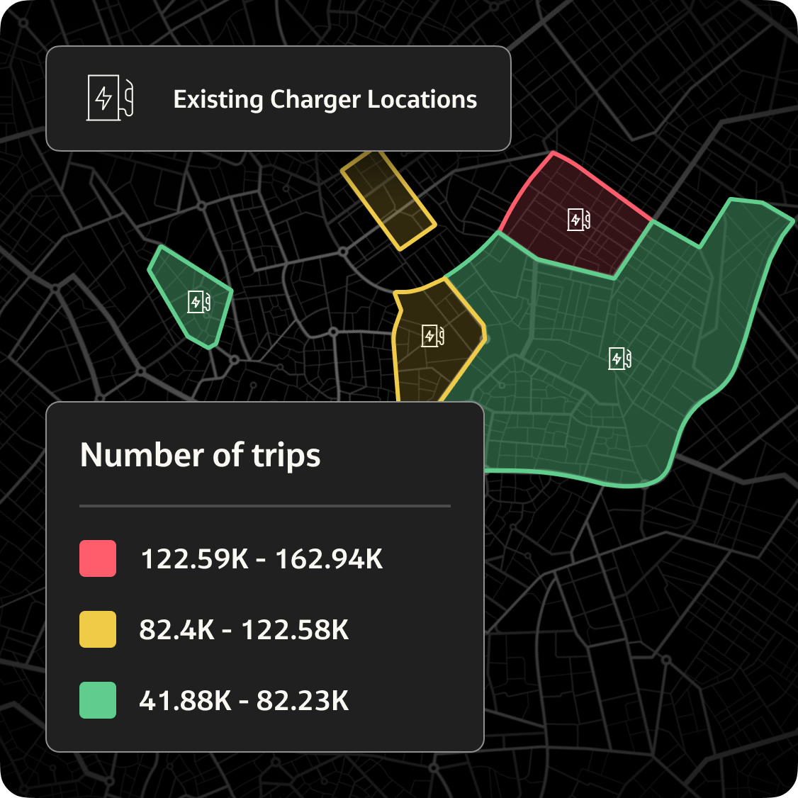


Get traffic volumes by day part to highlight the optimal sites for EV chargers.

View historical aggregate demographics including income, household status, and trip purpose to capture the profile of current drivers at sites.

Identify O-D travel patterns and top routes of vehicles to specific sites to determine where traffic demand is and where vehicles are coming from and going.

Access vehicle dwell time with custom trip distances to determine how long people are stopping at potential charger locations.

Analyze the relative activity of electric vehicle trips to compare to the travel patterns of plug-in hybrid and gas-powered trips.
EV Dashboard identifies charging locations based on your objectives
Successful EV infrastructure planning depends on the needs in your region. Is improving equitable access to charging part of your mandate? Is boosting utilization? Or mitigating air pollution? StreetLight’s EV Analytics Dashboard optimizes charging locations accordingly.
Check out other StreetLight products
Access our full-suite of tools and visualizations to solve all your most pressing site selection, climate, and infrastructure challenges.
Set accurate GHG baselines to identify realistic focus areas to reduce carbon emissions.
See the impact of biking and walking infrastructure in seconds with insights for your entire region across time.
Accelerate corridor improvements with multi-year mobility trends, available in minutes.
Future-proof grid infrastructure using detailed traffic data to forecast EV demand by day part and location across your service area.


Resources
Explore our library
Case studies, data-driven research, and timely articles to learn how StreetLight helps solve EV infrastructure planning challenges.
Our customers
See why they chose StreetLight

FAQs
Quick answers to questions you may have
Discover everything about the StreetLight’s EV Charger Deployment product features, benefits, and more.
Grant administrators for EV planning and infrastructure grants such as NEVI are looking for proof that your proposal will accelerate electrification goals in your region effectively and equitably.
Agencies can use StreetLight’s vehicle activity data such as Vehicle Miles Traveled (VMT), Origin-Destination (O-D) patterns, and dwell time to understand where drivers are most likely to stop and charge, helping prioritize new charger locations. Inferred traveler demographics also assist agencies in ensuring equitable infrastructure rollout. Meanwhile, purpose-built solutions for greenhouse gas (GHG) measurement help you measure local emissions from vehicles and quantify the impact of new charging infrastructure.
Because StreetLight makes it easy to turn these metrics into compelling data visualizations, many agencies are already using StreetLight to uplevel NEVI grant proposals and other EV funding applications.
StreetLight’s analytics have powered key EV plans across the country, and we are excited to continue to partner with many states and regions to help propel the EV revolution forward with a data-driven lens.
Some key plans include:
StreetLight’s VMT, O-D, dwell time, trip length, traveler demographics, and other metrics can help agencies and businesses understand where EV drivers are most likely to stop and charge based on how far they’ve driven and how long they stop at a given location. This ensures new chargers are placed in areas where charging demand is highest, and the new infrastructure will have an equitable impact.
StreetLight also offers localized GHG emissions measurement solutions to help agencies measure the impact of new charging infrastructure and the role it plays in overall climate goals, prioritizing charger locations that are most likely to help reduce jurisdictional emissions.
Do you need data to inform your next project?
Talk to StreetLight about your needs, and join us in shaping a more efficient, sustainable world.
Here are some resources to help you go a step further.
