Validated nationwide traffic counts to make profitable retail site selection and operations decisions
Ensure up-to-date location data analysis with recent traffic counts.
View traffic in front of locations on downtown corridors, highways, residential streets, and even rural roads.
Compare vehicle, truck, and foot traffic from walkable retail centers to industrial properties.
Trust that insights are validated against permanent counters and by transportation agencies.
Access the industry’s deepest repository of transportation data
Miles of roadway covered

Monthly trips processed

Data sources incorporated

Power strategic location decisions with reliable traffic data
Get started

StreetLight for Real Estate and Retail: At a glance
Get started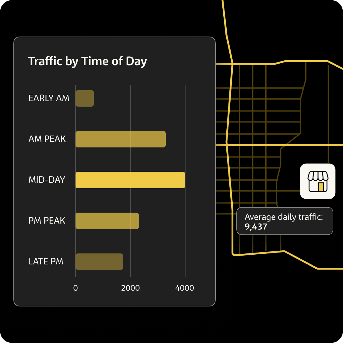


Analyze traffic counts and vehicle miles traveled (VMT) on more than 25 million road segments covering North America.

Reveal seasonal trends with traffic counts by day of the week and hour of the day for any month throughout the year and monitor changes over time.

Travel by direction and speed analysis help prioritize the best side-of-street retail to capture passing customers.

Infer more about your target customers with contextual features like household income, race, family status, and why they’re traveling.

Site selection insights can be accessed in the web platform, delivered as a bulk file, or programmatically integrated via dedicated API.


Resources
Explore our library
Case studies, data-driven research, and timely articles to learn how StreetLight helps solve real estate challenges.

FAQs
Quick answers to questions you may have
Discover everything about the StreetLight’s real estate and retail features, benefits, and more.
Retail site selection software assists retailers in making informed decisions about where to open a new location and may also assist with other real estate portfolio management decisions such as adjusting operating hours, staffing operations, or closing underperforming locations.
In the case of StreetLight, our platform enables retailers to measure customer demand at potential new locations as well as existing store locations based on nearby vehicle activity. Bike and pedestrian activity data may also be accessed, which can help inform demand for stores in highly walkable and/or bikeable locations.
StreetLight’s site selection solution compiles data from connected vehicles and the Internet of Things (IoT) to generate insights about how vehicles, bikes, and pedestrians move. These trillions of data points are processed by our Route Science® engine to turn them into recognizable metrics such as traffic counts for individual road segments to help retailers investigate potential customer demand at various locations.
The software considers a wide range of data types, including traffic counts, direction of travel, and turning movements at intersections to assess customer demand. It also incorporates origin-destination (O-D) data to analyze commuter patterns and vehicle speed data to determine where drivers might notice and visit a store. Additionally, it evaluates bike and pedestrian activity to help identify locations with high walkability and bikeability.
Do you need data to inform your next project?
Talk to StreetLight about your needs, and join us in shaping a more efficient, sustainable world.
Here are some resources to help you go a step further:
