
Traffic data API
Tap into StreetLight’s market-leading repository of transportation data at scale
Get started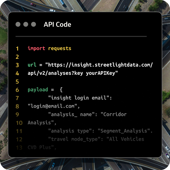
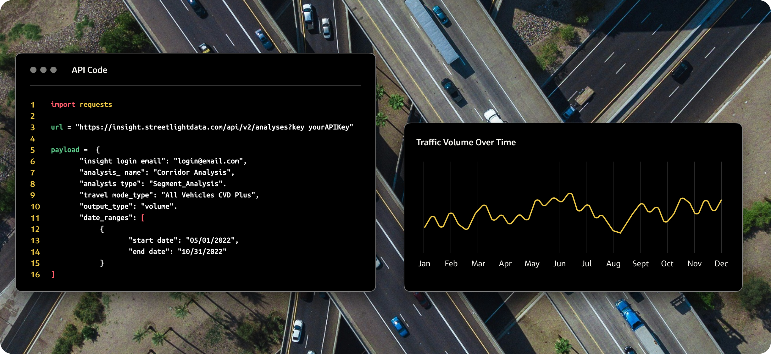
Choose the right data structure to power your mobility projects
Get started
How NaviRetail uses nationwide traffic data to reveal better store locations
Read case studyReal estate consulting firm NaviRetail wanted to create an app to help clients preview and compare future store locations without the need to physically visit every single one. The new app would enable clients to get spatially oriented with topography, aerial, street views, and then review demographics, retailer data, and traffic counts to assess the viability of each location.
NaviRetail turned to StreetLight for key traffic count and AADT data because they needed a provider that offered validated, nationwide data via an API. Traffic counts show up automatically in the map view in the NaviSites app, and users can click in to see both AM and PM traffic. NaviRetail now more effectively helps clients explore new retail locations, by sharing data more quickly and making meetings more fruitful, before they make critical investment decisions.


Big data sheds light on state and regional park access
Read success storyThree Minnesota public agencies wanted a clearer picture of state and regional park visitors to guide improvements to natural resource management, visitor experiences, and park maintenance. The team wanted a new data-gathering methodology that would augment the agencies’ traditional, more costly, labor-intensive manual counting and surveying methods.
Researchers used StreetLight’s API to retrieve three years of park visitation data for 210 state and regional Minnesota state parks in just a few clicks. Researchers gained access to in-depth park visitation numbers, broken down weekly across parks statewide. This filled in major information gaps created by traditional manual counting. Individual park managers also did not have to do specific program research–greatly reducing costs–before implementing new ideas.

Powering 20,000+ projects per month


Do you need data to inform your next project?
Talk to StreetLight about your needs, and join us in shaping a more efficient, sustainable world.
Here are some resources to help you go a step further.


