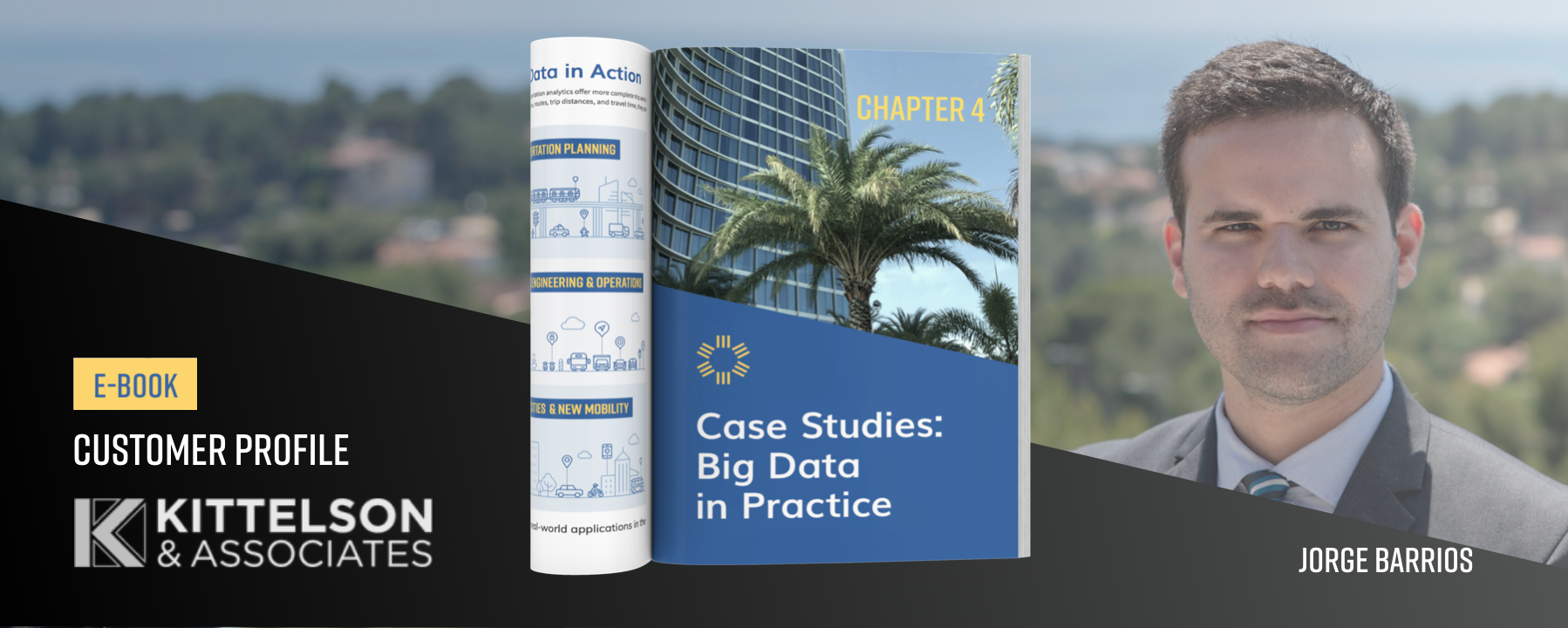
Transforming Through Transportation: A Conversation with Kittelson’s Jorge Barrios
Do you want to simply study roads, or understand where travelers are and where they want to go? Kittelson & Associates Senior Engineer Jorge Barrios opts for the visionary approach, working to transform Orlando’s entire transportation network. Jorge aims to sustain his community’s economic vibrancy, uplift family finances, and save countless lives.
We recently talked with Jorge about achieving safe streets, using Big Data to get the attention of key decision-makers, and why “done” is better than “perfect.”
StreetLight: How did you get into this field?
Jorge: Actually, at the University of Florida my degree was civil engineering with a structures track, then at the last minute I changed my mind and in graduate school went with transportation.
The thing is, buildings aren’t falling down suddenly overnight. Structures involve more evolutionary work, trying to improve materials and techniques a little bit. But with transportation, the system is failing pretty much every day at around 5:00 p.m. Our work has the potential to be transformative.
What does Big Data do for you?
I work across a variety of projects — transit, auto, freeway operations — but I always look for ways to incorporate really concise and insightful analytics and visualization.
We start projects by understanding a community’s wants, needs, and existing conditions. That has always required data, but 30 years ago it was tube counts, counting cars at intersections, measuring speeds with radar guns — all very constrained to the specific road you are on.
“The fact is that if a city wants safer streets, that often means reducing space for vehicles.”
When people make trips they usually have a lot of choices: time, route, mode, speed. If you look at one specific road one day of the year, you are missing that bigger picture of choices.
With Big Data, we can zoom out and understand an entire network versus one road or intersection. Roads, intersections and modes are just a means to an end. If you instead understand where people are and where they want to go, you can develop really comprehensive recommendations.

What’s one project you really loved?
I spent a good part of two years working on a project for State Route 436 in Orlando, Florida. I’m excited about it because it could lead to the very first high-capacity, high-frequency bus transit route in Orlando, building on the investment in the commuter rail line we made five years ago.
It was a big community effort to get to a recommendation supported by the municipalities that could deliver a good transit experience within the given timeline and resources. We are all really proud of the collaborative nature of the study.
I like to say “done” is better than “perfect.” So if we can get a good project actually built, that’s better than an ideal project that doesn’t get built. There are enough studies sitting on bookshelves.
What was your most challenging project?
I assisted the City of Orlando with a “safe streets” experiment to temporarily narrow a five-lane road to three lanes and add bike facilities on each side. It was always meant to be an experiment, with a beginning and end date. But after getting some bad press and mixed public reactions, the perception was that it was a “failed” effort that the city had to rip out.
It’s a common challenge for planners and engineering trying to implement safe streets initiatives, the reluctance of people changing to an experience they didn’t have before. But the fact is that if a city wants safer streets, that often means reducing space for vehicles.
“With Big Data, we can zoom out and understand an entire network versus one road or intersection.”
How do you engage key decision makers?
Community leaders and decision makers have a lot of issues they are grappling with. You like to think they are just working on your project, but in reality they are looking at so much more.
Listening is a skill that often gets overlooked. We frame our recommendations and approach based on that. I don’t want to come in as a top-down educator, I want to frame it as a community need or want. You can’t come to Orlando and say “San Francisco is doing this or that, we should copy them.” You have to listen and understand the community’s needs, wants, and resources. Then tailor your recommendations based on that.
So, are you an engineer or a psychologist?
[laughing] You come out of engineering school with tools and quantitative skills, but after working in the field roughly eight years, almost half of my work involves “soft skills.” Those skills are a hugely important part of what we do, and they don’t get taught to engineers.
Listening involves being really focused on the person talking to you, fishing out those interests, needs, and wants. Listen instead of thinking of what you are going to reply. That has taken me time to develop.
Also I do a lot of public speaking, both in the workplace and the community. Conflict resolution also helps — with most projects there are conflicting needs and you have to be able to talk through it.
What’s your biggest frustration right now?
The pace of change is not nearly as fast as it needs to be to protect people from getting killed while biking and walking. Or to protect communities and economic vibrancy, and ultimately to protect our planet.
In the U.S. more than nine out of ten trips are made by personal vehicles. We just can’t keep accommodating so many cars. And here in central Florida, transportation eats up close to a quarter of a family’s income. If that can come down to a tenth, imagine what people can do with all that extra cash.
The most effective way of achieving mode shift is to make locations closer to each other so people can walk or bike. But land use is controlled by local governments. So, you can be doing the greatest work in transportation at the federal, state, or even regional level, but ultimately the cities are in charge of land use. They need to be the leaders in that regard.
What’s your favorite transportation mode?
The mode I use most often is my bike. I bike to work, to the supermarket, to the gym, to restaurants, and more. I was fortunate enough to be able to live downtown, near my office. Not everyone has that luxury of choice.
But if I could pick being in any mode right now I’d pick a sailboat. When I was in graduate school in San Francisco, I was part of a sailing club at the UC Berkeley marina. Here in Orlando we don’t have big enough water bodies to sail, or else I’d probably be out there right now.
For real-life case studies on how planners, engineers, and organizations use Big Data, click below to download our free eBook, Big Data for Transportation.

